Three hikers standing on a cliff surrounded by pine trees, overlooking the sea and forested hills at sunset in the High Coast of Sweden.
Hiking the High Coast in northern Sweden
Hiking in northern Sweden offers vast views and varied landscapes – here from the High Coast, where the world's highest coastline meet the Baltic Sea.
Photo credit: Fredrik Lewander/Höga Kusten Destinationsutveckling

Hiking in northern Sweden – beyond the classics

From dramatic coastlines to forested valleys and mountains, northern Sweden offers hiking for every pace and preference. Alongside iconic trails, you’ll find lesser-known routes that are just as rewarding, offering a different way to experience the region.

Hiking in northern Sweden is both accessible and varied, with landscapes ranging from Arctic forests and mountains to striking coastal scenery. Many of the region’s best-known trails – such as The King’s Trail (Kungsleden), The High Coast Trail (Höga Kustenleden) and St Olav’s Pilgrim Trail (St Olavsleden) – have already earned their place on bucket lists around the world and are highlighted in our guide to Sweden’s top hiking trails.

But beyond these classics lies a network of lesser-known routes that offer a different perspective. Often divided into sections, they make it easy to plan anything from a short walk to a multi-day adventure, depending on your time and experience.

Snowshoe hiking in winter

The hiking season in northern Sweden typically runs from June to September, though snowshoe hiking opens up new possibilities in winter. Swedish weather can change quickly, especially in more exposed areas, so it’s worth coming prepared with sturdy footwear, layers and weatherproof clothing. Mosquito repellent is also recommended. Read more about all you need to know about hiking in Sweden.

Here are a few lesser-known trails in northern Sweden worth exploring.

A hiker walking along a rocky ridge surrounded by pine forest, with views of water in the distance along the Solander Trail in northern Sweden.

Hiking the Solander Trail

The Solander Trail (Solanderleden) winds through forested landscapes and coastal hinterland between Luleå and Piteå, offering varied hiking in Arctic Sweden.

Photo: Håkan Stenlund/Swedish Lapland

The Solander Trail – remote forests with a global backstory

Kallax–Jävre (Luleå Airport to Piteå), 227 kilometres.

The Solander Trail (Solanderleden) winds through a coastal hinterland of deep forests, open farmland and small villages. Divided into sections, it’s easy to plan anything from a short walk to a longer, multi-day hike.

The trail is named after Daniel Solander, a botanist from Piteå and a protégé of Carl Linnaeus, the Swedish scientist who laid the foundations for modern plant classification. Solander later joined Captain James Cook on his first voyage around the world, documenting plant life in places previously unknown to European science.

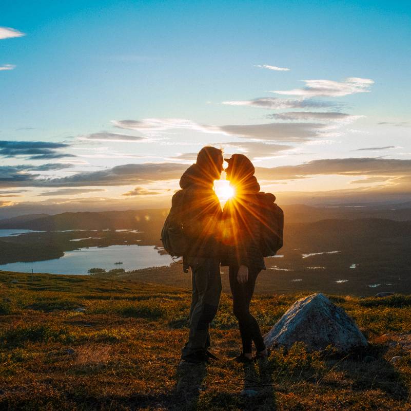
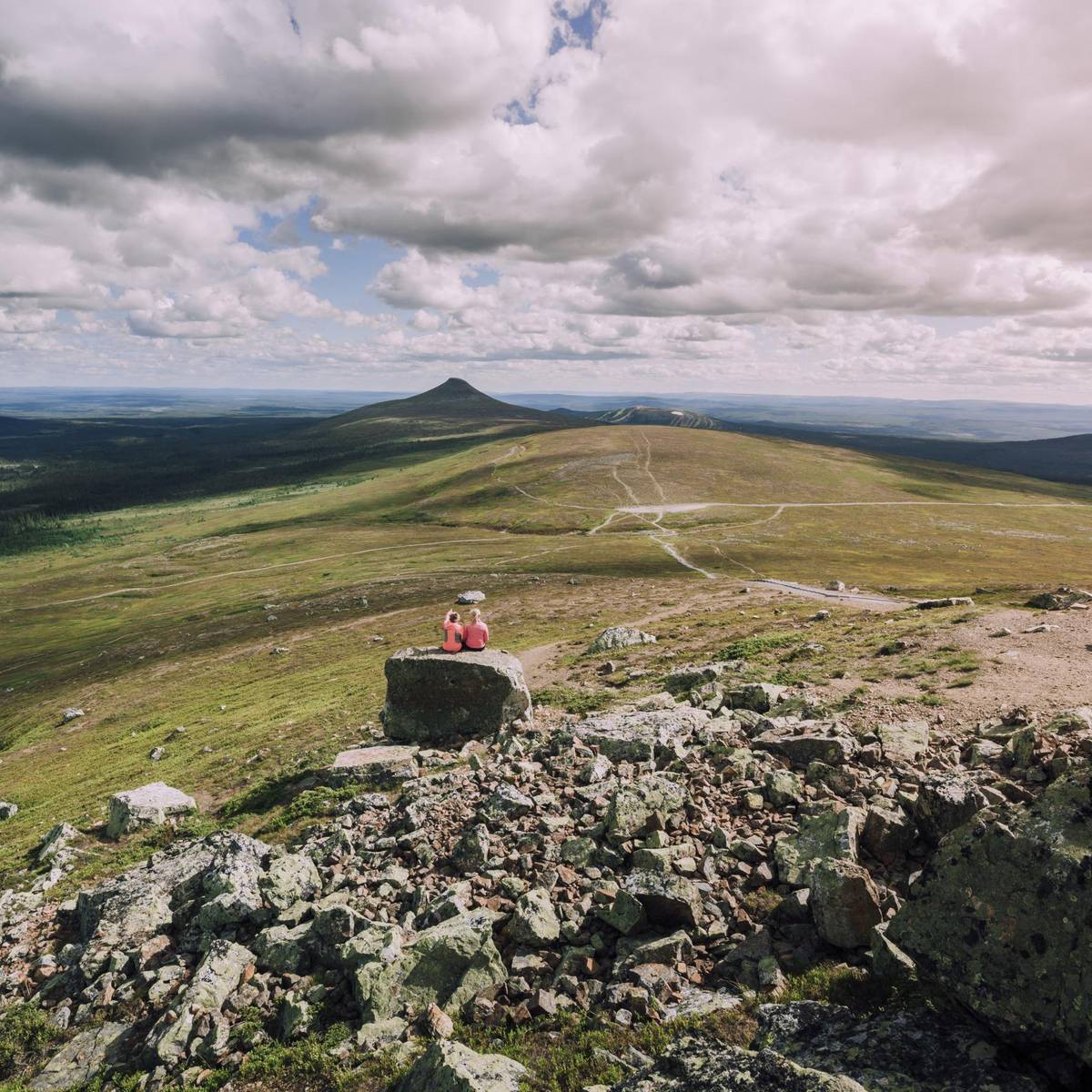
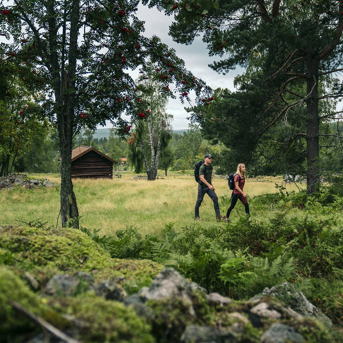
Along the way, you’ll encounter Arctic Sweden’s diverse scenery: pine forests with a sense of remoteness, fishing lakes, rivers and streams, as well as viewpoints opening up across the landscape. The trail also passes through cultivated areas, with meadows, fields and grazing animals. Some sections are also suitable for snowshoe hiking in winter.

From summer 2026, architect-designed wind shelters by ArkNat – created by architecture students from around the world – will be added along the trail, offering places to rest, enjoy a ‘fika’ or even spend the night.

Discover more hiking in Arctic Sweden.

Aerial view of a narrow, forest-covered peninsula surrounded by calm water, illustrating the landscape along the Isälvsleden trail in Västerbotten.

Isälvsleden, Västerbotten county

Isälvsleden hiking trail follows a landscape shaped by the Ice Age, with lakes, forested ridges and distinctive glacial formations along the route.

Photo: Amanda Sveed/Visit Umeå

Isälvsleden – a trail shaped by the Ice Age

Vindeln–Åmsele, 60 kilometres.

The Isälvsleden Trail runs through Västerbotten county, following a landscape shaped by the last Ice Age thousands of years ago. The trail passes through a remarkable area of glacial formations, including rolling dunes, dramatic gravel ridges and ancient pine forests with a storybook feel. In essence, the trail offers a glimpse into the area’s natural history.

At times, you’ll be hiking along narrow ridges with steep drops towards water on both sides. The route is varied and even includes a short boat crossing, where you row yourself across the water to continue your journey.

For those interested in fishing, permits are available along the trail, and the entire route can also be explored by bike.

A hiker with a backpack standing on a cliff overlooking dense forest and the sea in the High Coast region of northern Sweden.

Hiking the High Coast

Hiking in the High Coast offers sweeping views over forests and the Baltic Sea, along one of the world’s highest coastlines.

Photo: Höga Kusten Destinationsutveckling

The World Heritage Trail – a circular route through the High Coast

The High Coast, 100 kilometres.

While the High Coast Trail often takes centre stage, the World Heritage Trail (Världsarvsleden) offers a quieter, circular alternative through the same UNESCO-listed landscape. Centred around the Nordingrå peninsula, it brings you closer to the heart of the High Coast.

Here, you’re hiking along the world’s highest coastline, which is still rising a few millimetres every year. The route takes you through a varied landscape of deep inlets, forested valleys, lakes and steep hillsides, with breathtaking views across the Baltic Sea.

The trail is divided into 14 sections and passes through nature reserves and several villages and fishing communities, adding a cultural layer to the experience. Parts of the route also overlap with the High Coast Trail, making it easy to combine the two.

Discover more hiking in the High Coast.

Wooden walkways winding through a rocky, forested landscape at Döda fallet in Ragunda, where a former waterfall has run dry.

Döda Fallet hiking trail

Döda Fallet, the ‘Dead Waterfall’ in Ragunda, is the dramatic result of one of Sweden’s largest man-made natural disasters, now explored via accessible hiking trails.

Photo: Anne Adsten/Jämtland Härjedalen Turism

Hiking in Ragunda – quirky sights in a geopark landscape

Ragunda valley, trails ranging from 1 to 16 kilometres.

Ragunda, part of Geopark Indalsälven – one of three national geoparks in Sweden – offers around 20 shorter hiking trails spread across the villages in the Ragunda valley. Combining nature with unexpected sights, these routes are ideal for a shorter walk with a packed lunch, or for linking together into a longer day out.

At the heart of the area lies Döda fallet, the ‘Dead Waterfall’, reached via a 3.5-kilometre circular trail. Here, you can witness the eerie aftermath of one of Sweden’s largest man-made natural disasters, when a lake drained in 1796 and the once powerful waterfall fell silent.

Another option is the Kullstaberg Trail, a circular 7.6-kilometre route that leads uphill to a viewpoint above Hammarstrand and Europe’s largest town sign, in true Hollywood style. Around the Goat Cave (Getgrottan), massive boulders form a natural shelter that was shaped during the Ice Age and is long associated with local folklore.

Ragunda also offers more unexpected sights, from the Royal Thai Pavilion – built in memory of a royal visit in 1897 – to Borgvattnet Vicarage, said to be one of Sweden’s most haunted places, where you can even stay overnight.

Ragunda’s mix of geology, history and forested landscapes makes it a rewarding stop for hikers looking for something beyond the expected.

Explore more hiking routes in Jämtland Härjedalen.